Routes listed alphabetically by starting point.
All routes can be downloaded as .pdf, .gpx, or .tcx through the RideWithGPS link.
All routes can be downloaded as .pdf, .gpx, or .tcx through the RideWithGPS link.
|
West of Amity Casual Loop
Amity, OR 22 miles, 383 feet climb AKA, the "Breakfast Ride." From the Perrydale School, you'll ride through quiet farm land on very flat terrain. Link to RideWithGPS page. |
|
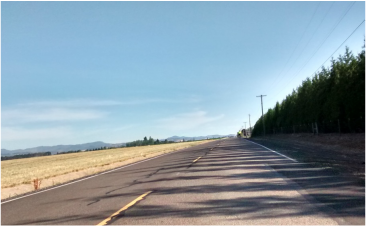
East of Amity Spring Ride
Amity, OR 34 miles, 765 feet climb Lots of scenic farmland that's a perfect spring ride when things start to bloom. Link to RideWithGPS page. |
|
Overpass ZigZag
Keizer, OR 39.1 miles, 444 feet climb A very flat ride with beautiful farm and flower fields. Link to RideWithGPS page. |
|
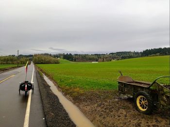
"Worst Day" of the Year Ride
Monmouth, OR 30.6 miles, 1089 feet climb Don't let the tongue-in-cheek title fool you; this route is a fantastic way to spend the day. A bit of climb at the midway point can easily be avoided and the route shortened with a turn on Arlie road. Link to RideWithGPS page. |
|
Maple Grove Fall Colors
Pedee, OR 20 miles, 955 feet climb A perfect ride any time of year, but it's especially beautiful when the Fall leaves start turn colors. The Ritner Creek Bridge makes an excellent snack stop. Link to RideWithGPS page. |
|
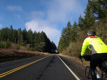
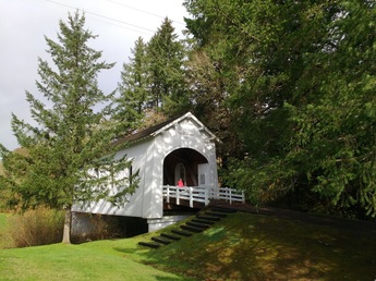
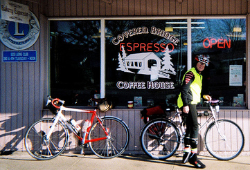
Scio Covered Bridge
Scio, OR 32 miles, 718 feet climb Back roads will lead you through a covered bridge and over moderate hills back to the Covered Bridge Coffee House for burgers and baked goods. Link to RideWithGPS page. |
|
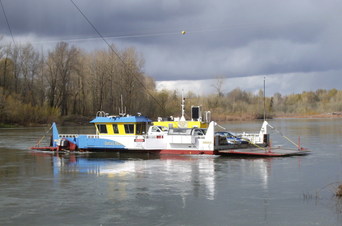
Silverton Loop
Wheatland, OR 44.3 miles, 781 feet climb Starts and ends with a beautiful ferry ride. The mid-way point in the town of Silverton is a great place to grab lunch. Link to RideWithGPS page. |

|
Mixed Bag
Zena, OR 36.7 miles, 1214 feet climb The ride has a little bit of everything from rural roads and ferry rides to bike paths and bridges in the city. Link to RideWithGPS page. |
